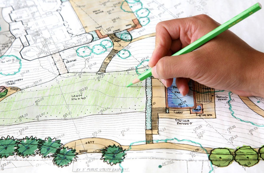
Topographic Mapping for Engineering Precision

Mapping Future Foundations
A detailed topographic site plan is the foundation of accurate engineering design. Our surveys capture all critical surface features, giving engineers and architects the reliable data they need to build with confidence.
Why Topographic Surveys Are Essential for Engineering Projects
Topographic surveys play a crucial role in the early stages of any engineering or construction project. At NGLS, we provide precise, professional-grade site plans that map existing ground features, elevations, slopes, and man-made structures. Whether you're planning a commercial development, infrastructure project, or residential construction in Metro Vancouver, our surveys support seamless collaboration between engineers, designers, and city planners. We use high-accuracy GPS and total station technology to ensure that no critical detail is missed. By identifying surface constraints early, our topographic data helps reduce design errors, prevent costly revisions, and streamline permit applications. Trust NGLS to deliver site plans that bring clarity to complex terrain—so your project can move forward with confidence.
What’s Included in a Topographic Site Plan
Our comprehensive plans offer more than elevation data—they provide a complete visual of the site’s physical and constructed elements, ready for engineering integration.
- Detailed contours and spot elevations
- Location of trees, structures, driveways, utilities
- Drainage features and terrain slope analysis

