Detailed Topographic Surveys for Smarter Site Planning
Visualize Your Land
A topographic site plan reveals the true shape and features of your land. We deliver precise elevation and surface data for informed design and construction in Metro Vancouver.
What a Topographic Plan Tells You
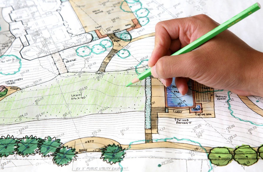
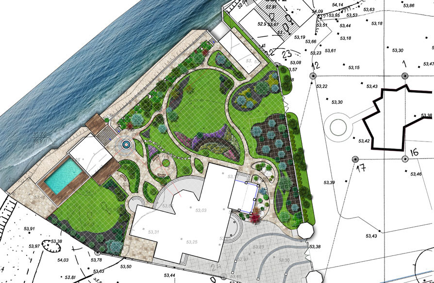
A topographic site plan captures more than just property lines—it maps the elevation, contours, and natural or man-made features of your land. Whether you’re preparing for development, landscaping, or permit applications, having this information is essential. At NGLS, we use cutting-edge GPS and total station equipment to provide accurate, detailed topographic surveys. Our plans meet municipal and engineering requirements across the Metro Vancouver area. From slopes and drainage to buildings and trees, every feature is mapped for clarity and compliance. Trust our experienced team to deliver the insights you need to move your project forward with confidence.
Why Choose a Topographic Survey?
Before you design, dig, or develop, get the full picture. A topographic survey helps you:
- Understand site conditions, contours, and elevations
- Meet permit and engineering requirements
- Plan grading, drainage, and construction accurately